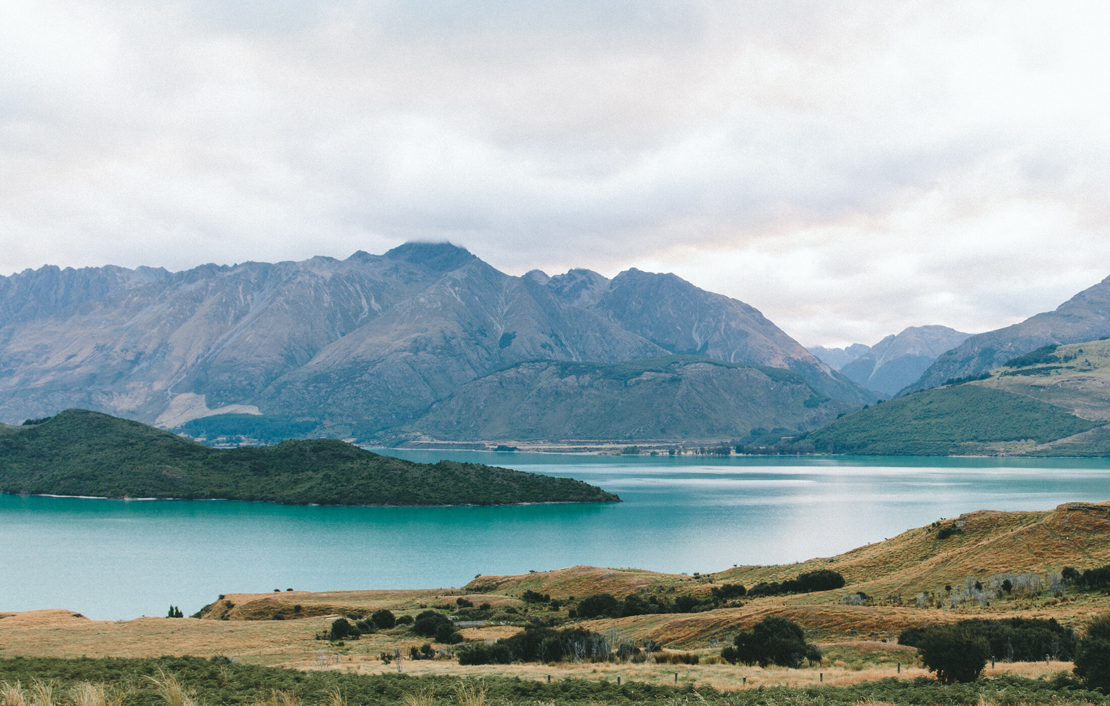
Water Quality Issues in Victoria
Parts of Victoria face water quality issues that residents should be aware of to make informed decisions prior to entering the waterways. Keeping informed about the water quality issues also helps prioritize their remediation.

Combined Sewer Overflows (CSOs)
-
There are five known emergency wastewater overflows located between McNeill Bay and Finnerty Cove on the east side of Oak Bay and Saanich that are particularly susceptible to sewage pollution during storm and rain events.
Locations that continue to receive combined stormwater and wastewater flows, such as the Humber Pump Station and Rutland Pump Station in Oak Bay, will continue to discharge screened and heavily diluted overflows during heavy rain storms on an annual basis until municipalities fully implement infrastructure upgrades by 2030 (Capital Regional District, 2023).
In the meantime, beaches between Ripon Road and Cattle Point in Oak Bay have permanent signage in place advising the public to avoid entering the water along the affected shorelines for 48 hours following a rain event (Capital Regional District, 2023).
Combined sewers are antiquated pipe systems that collect both wastewater and stormwater on the way to water treatment plants. They contain overflow pipes that empty a toxic combination of untreated or partially treated sewage and stormwater into receiving waterbodies when the treatment capacity of water treatment plants is overloaded (Phippen & Sutherland, 2006). In addition to CSOs, unreported stormwater pipes, outdated holding tanks on boats, and street runoff can contribute to contamination (Phippen & Sutherland, 2006).
SSOs (Sanitary Sewer Outfalls) and CSOs (Combined Sewer Outfalls) impact recreational water quality and increase people’s risk of waterborne illness if they come in contact with the polluted water. Therefore it is essential to inform the recreational water users of these events year-round.
-
Infrastructure improvements: the best way to reduce sewer overflow events from occurring is separating the sewers and the storm drains.
Monitoring effluent entering the waterways: Some cities, like Victoria, have alerts and notices that indicate when a sewer has overflowed recently. This is a great way to monitor when it is safe to enter the waterways.
Data transparency: It is crucial that organizations and governments are transparent about their data on water quality and sewer overflows so that the public is informed about their waters.
-
Swim Drink Fish updates water quality data collected by Vancouver Island Health Authority by posting results weekly on Swim Guide to help recreational users make informed decisions prior to entering the waterways.
-
The District of Oak Bay: the district is working on the Uplands combined sewer separation project which will ultimately address the pump station bypass issue for Humber Road and Rutland Road pump stations. Check out the details!
Capital Regional District (CRD): the CRD recently completed their Wastewaster Treatment Project in 2021. Part of this project saw the construction of the Trent Forcemain and Arbutus Attenuation Tank to increase conveyance capacity and reduce the frequency and duration of overflows. Learn more!
Climate Change
-
We are already experiencing the effects of climate change, and the harm to our waterways will only be amplified in coming years. Increased extreme weather events, such as heavy rains will further deteriorate water quality by increasing the sewer overflow events. Extreme weather will degrade shorelines, decreasing access and desirability to enter the water, exacerbating problems further. Finally, species ranges will change as they try to move towards a more desirable climate, causing extinctions, and arrival of new, potentially invasive species.
-
Climate change is a complex problem, with many solutions, therefore this list is not exhaustive. We have focused on solutions that you and your city can do to help.
Reduce your greenhouse gas footprint: Although the most commonly cited way to reduce your greenhouse gas footprint is by driving less frequently, there are many ways to do so. Eating locally reduces the carbon needed for transportation of foods, eating a plant-based diet reduces harmful methane gasses caused by red meats, and think about skipping a plane on your next vacation and instead taking it closer to home.
Support restoration and protection of carbon-rich areas: some ecosystems remove and store a lot of harmful greenhouse gasses. We must cherish those ecosystems, as they help reduce the effects of climate change. Great ways to do this is to restore the degraded ecosystems back to their natural state, and to protect those that are intact.
Monitor the health of your local ecosystem: measuring the health of local ecosystems is a great way to determine how we need to help it adapt to climate change.
Connect with the Outdoors: Spending time in the outdoors and encouraging others to do the same will create advocates for protecting it.
Discover ways to help your community adapt: Many communities have climate change adaptation plans. Learn about your community’s plan and give your input for this changing world.
-
With the changing climate we are noticing that the water stays warmer later into the year and people are actively using the water later into the Fall than in previous years. This shift means a change in monitoring season should be considered to be extended later into the year.
-
The City of Victoria’s Climate Leadership Plan: The city of Victoria has a climate action plan to reduce community-wide green house gases (GHGs) by 80 percent by 2050 (from 2007 levels) and to shift away from fossil fuels to 100 percent renewable energy by 2050. See the plan!
CleanBC Roadmap to 2030: The province of BC also has a climate action plan that echos Victoria’s goals of drastic GHG emissions reduction by 2050. Find out more!
BC Council for International Cooperation Climate Change: is a youth-led group under 25 years of age prioritizing youth-led initiatives in the climate action space. Read about their work!
Canadian Climate Institute: are Canada’s leading climate change policy research organization. Find our more here.


Litter and Floatables
-
Floatables consist of foreign materials that are floating or suspended in a body of water. They are detrimental to wildlife, destroying their habitat, causing entanglements, and upon ingestion, result in suffocation or starvation. Dangerous floatables such as syringes and other sharp objects can also pose threats to humans, causing scratches and infection.
Common pieces of litter found on and near beaches in Victoria are cigarette butts, food packaging, and micro-plastics. Their deterioration to the aesthetics of the waterways can discourage recreational users from visiting.
-
Beach Clean-ups: We must act together to clean up our waterways. Whether you grab a couple of pieces of trash next time you are at the beach, or join a shoreline cleanup, your impact can make a huge difference.
Education: Increasing public awareness around waste and a circular economy will decrease the likelihood of people throwing their trash on the ground.
Monitoring: Monitoring trash at beaches allows organisations or individuals to advocate for a cleaner city.
More Trash Cans: If it is easy for people to throw away their trash, they will be more likely to dispose of it properly. Increasing trash cans is a great way to keep the beaches and waterways clean.
Pocket Ashtrays: If you are a smoker, consider disposing of your butts using a pocket ashtray. Using one protects our city against fires, reduces litter, and keeps our waterways clean.
-
We monitor the litter at each water sampling site we visit. Collecting this data helps us identify the times of year that littering becomes the biggest problem, identifies when the sewer outflows cause increased floatables, and allows us to advocate for healthy waterways. Volunteer with us to help monitor the shoreline in Victoria!
-
Surfrider Foundation’s plastic pollution campaign has resources to help you become a plastic activist, organizes beach cleanups, and more! Find out more here!
The Great Canadian Shoreline Cleanup organizes shoreline cleanups regularly. Organize or join one here
International Trash Trap Network uses trash trapping technologies to help cities clean up their shorelines. Have a look at their work!
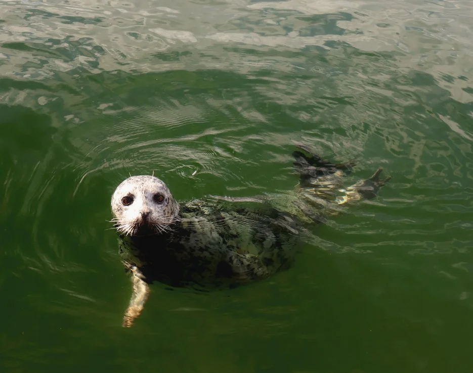
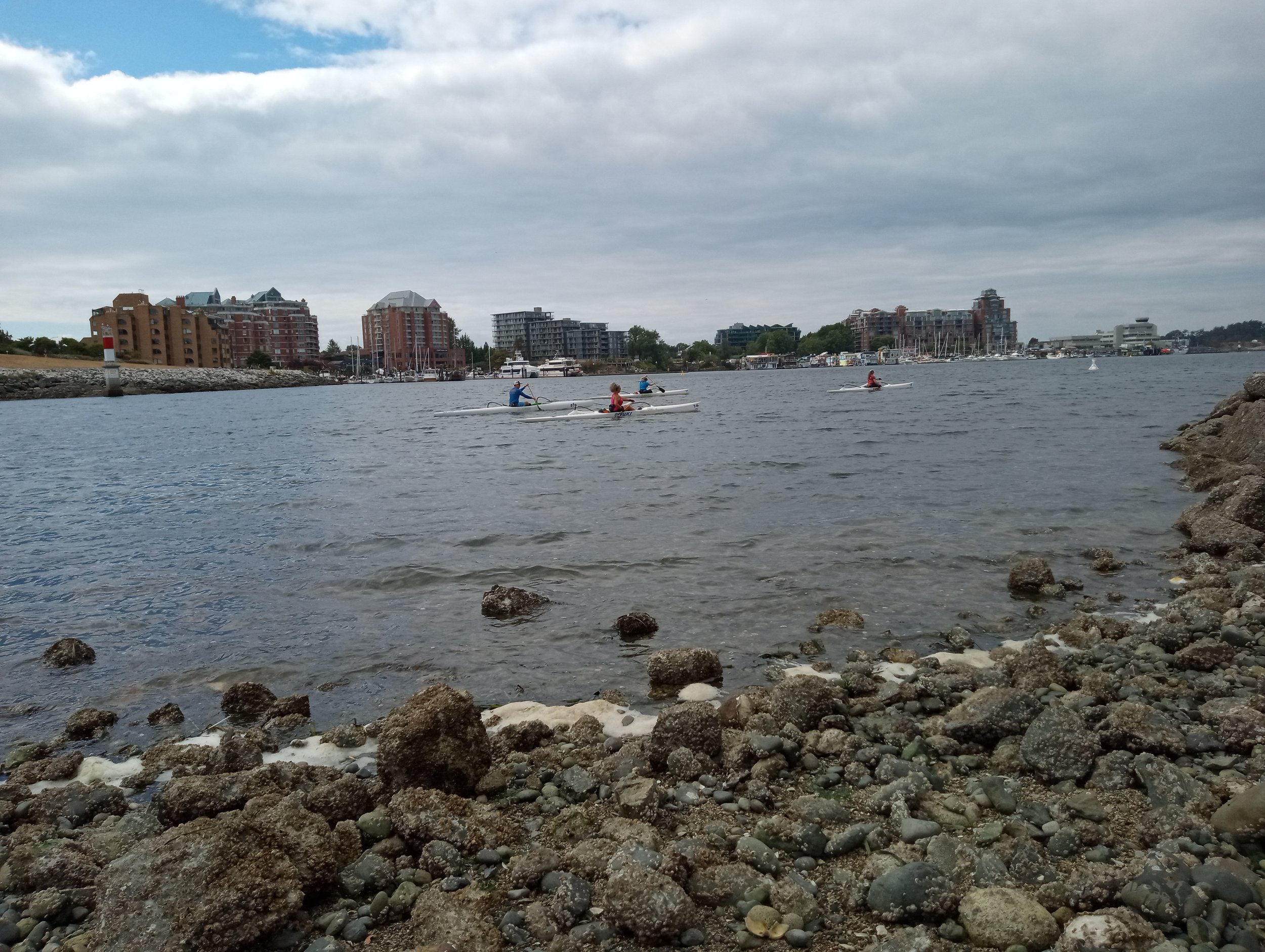
Poor Wildlife Habitat Quality
-
The hardened shorelines of Victoria destroys valuable wildlife habitat. Without habitat, it is difficult for sensitive aquatic species to survive, and they are instead replaced by invasive species. Aquatic life also helps naturally clean the waters, therefore their absence amplifies the pollution in surrounding waterways.
-
Restore the shoreline: The United Nations has declared this decade to be the “Decade of Restoration”. Let’s take advantage of the momentum and restore Victoria shoreline to its former glory.
Monitor the species: Documenting the life present in our waterways is a great way to track invasive species as well as the sensitive species that may be still present. Bringing this information forward to governing bodies is a great way for them to prioritize initiatives like restoration. You can do this on your own using applications like iNaturalist!
Reduce surrounding pollution: Risks to species such as habitat loss are amplified by additional pollution. Reducing other pollution will increase the likelihood of species survival in degraded habitats.
-
We are currently working towards monitoring different locations in Victoria. As part of this monitoring work, we document the animals present. We pay special attention to invasive species, dead/ injured animals, and species at risk!
-
Habitat Acquisition Trust (HAT): their vision is to ensure that natural areas are protected and healthy on southern Vancouver Island and the Gulf Islands. Learn more about their work!
Habitat Conservation Trust Foundation: help groups and individuals secure funding for conservation projects and provide education to the general public about BC’s important natural assets. View their projects map!
Capital Regional District (CRD): see their website to see a list of local organizations working to conserve and restore wildlife habitat!

Chemical Pollution
-
Harmful chemicals can enter waterways from industrial pollution, petroleum stations, marinas, and motorized boats. The risk increases following rainfall events resulting in higher discharge levels from storm drains. Due to the commercial and industrial density around Victoria, in particular the Inner & Upper Harbour, chemical pollution can be a concern.
-
Monitor chemicals in the water: monitoring the chemicals in the water gives the opportunity for swimmers to make informed decisions prior to entering the water.
Advocate for healthy waterways: using the evidence from water monitoring results allows us to advocate for healthy waterways, with the goal of cleaning up harmful chemicals
-
Although we do not currently test for chemical pollutants, we do test E.coli as an indication of when sewers are overflowing. Since many harmful chemicals originate from sewers, their relatedness does give us a picture of heavy metal contaminants. We are additionally looking into possible partnerships for this type of monitoring work in the future.
-
Ocean Wise: In 2018, a study was conducted in the Victoria Harbour demonstrating high levels of contaminants and pollution including now-banned polychlorinated biphenyl, dioxins, and legacy pesticides that have long been banned. This contamination is linked to Victoria’s history of industrial and commercial practices that took no consideration for the health of the surrounding environment.
City of Victoria and Songhees Nation: In July 2022, Songhees Park situated in the Inner Harbour was expanded in collaboration with the Songhees Nation, marking the first park co-developed collaboration between the city and the nation. As a result, this project has increased the park size by 25%, replacing a roadway with 1.8 acres of hillside green space, accessible pathways, seating, and a gathering spot near the shoreline.